 Document
Pastoral Corridor Water Points GIS Layer Package
GeoPackage and metadata for pilot corridors (sample regions); suitable for GIS practitioners.View →
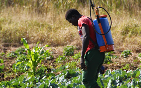
Pastoral livestock systems in West Africa continue to face severe pressure from fodder and water deficits, insecurity, displacement of herders and animals, and growing restrictions on sub-national and cross-border mobility.
In response, ECOWAS established dedicated livestock and pastoralism interventions and created the Regional Animal Health Centre (RAHC), based in Bamako, to coordinate regional animal health policy harmonization, surveillance, reporting, and partnerships on transboundary animal diseases and zoonoses.
GeoPackage and metadata for pilot corridors (sample regions); suitable for GIS practitioners.
Anonymised aggregate tables supporting loss estimates by crop and handling stage.
Document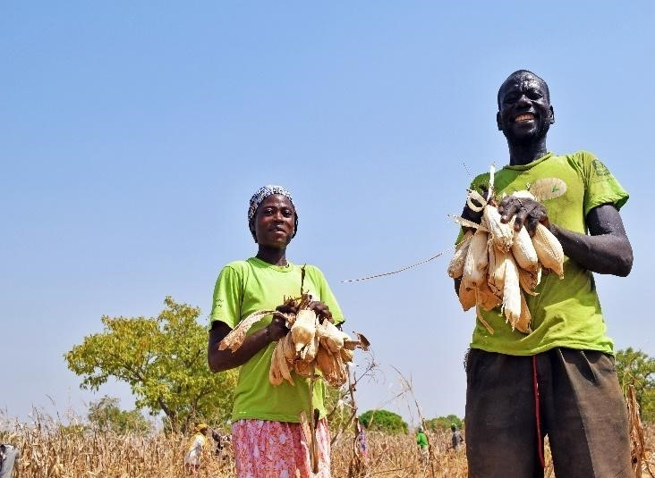 Document
 Success story
 Success story
 Webinar
 Webinar
 News
News